Log in
All resources
Create a design
15 Free Artworks of Canary Islands In The 17th Century
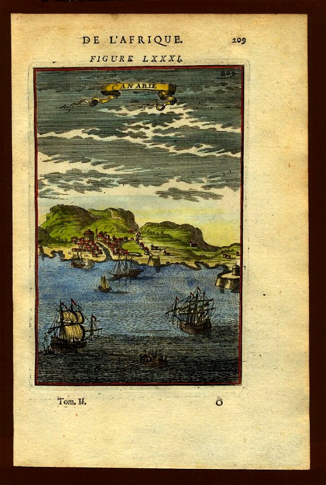
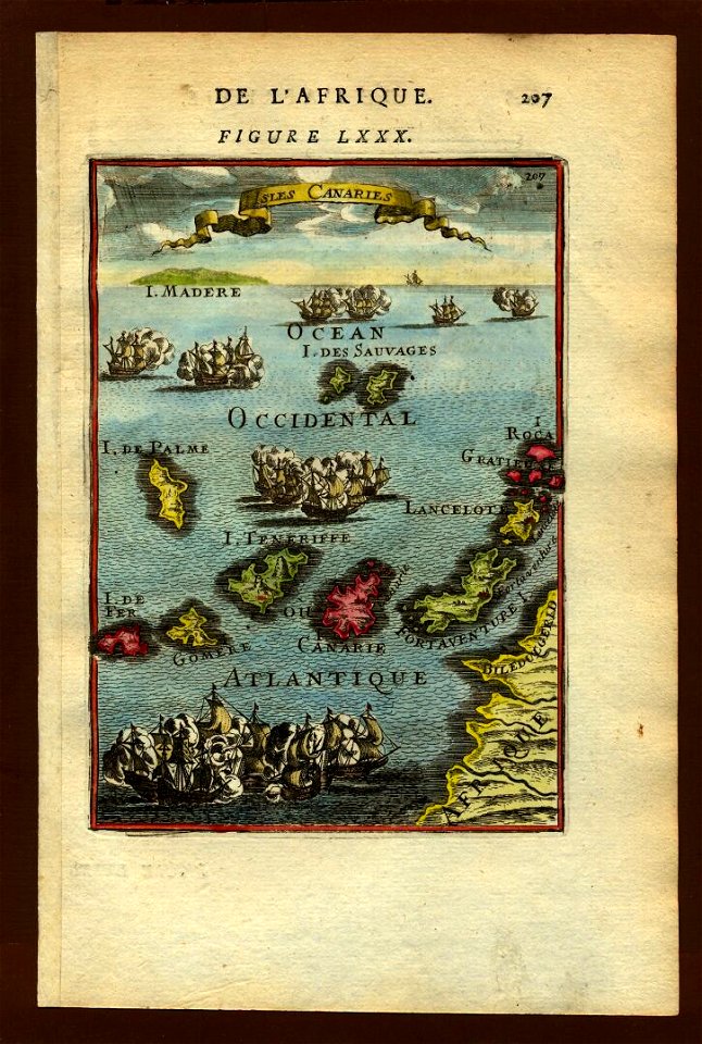
description de l'universe
17th-century maps of the canary islands
alain manesson mallet
bibliothèque nationale de france
1683 in spain
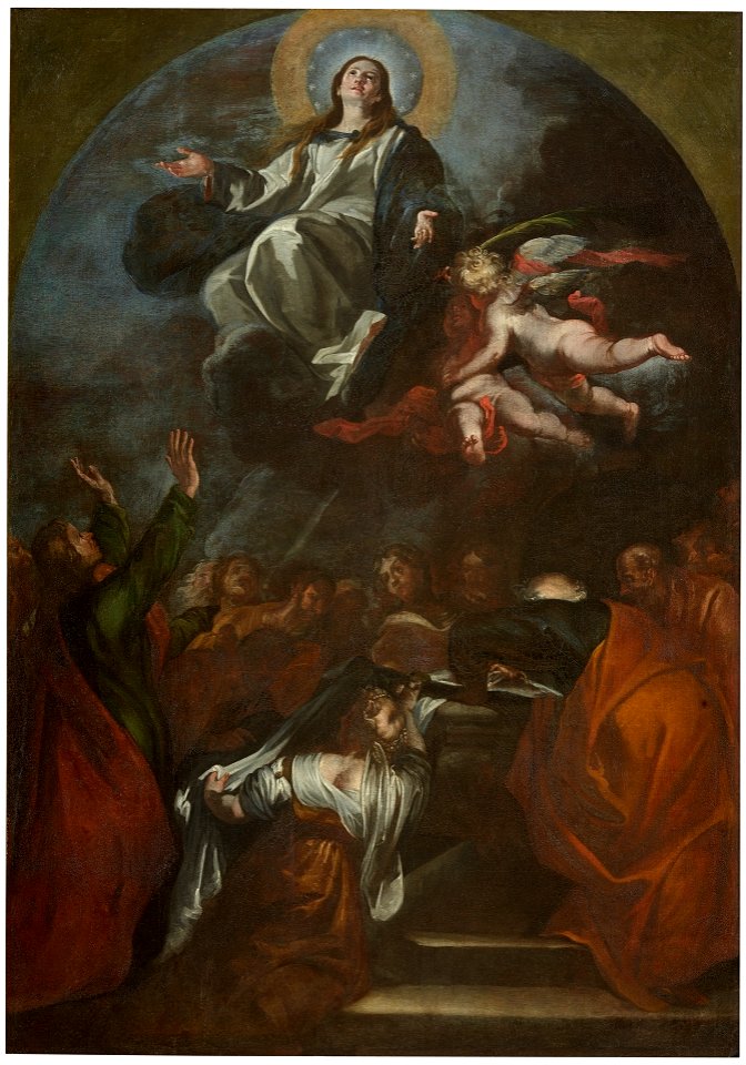
paintings in the museo municipal de bellas artes de santa cruz de tenerife
paintings in the prado
museo del prado
oil on canvas
17th-century maps of west africa
paintings of the assumption of mary in spain
17th-century paintings of assumption of mary
17th-century maps of the canary islands
description de l'universe
17th-century maps of africa
maps from gallica
panteón de la real colegiata de san isidoro de león
paintings of philip iii of spain
canary islands in the 17th century
description de l'universe
17th-century maps of the canary islands
description de l'universe
atlas maior, vol 10 (spain and africa) - joan blaeu, 1667 - bl 114.h(star).10
1667 maps
canary islands in the 17th century
description de l'universe
description de l'universe
1680s maps of spain
canary islands in the 17th century
description de l'universe
canary islands in the 17th century
description de l'universe
17th-century maps of the canary islands
description de l'universe
17th-century maps of west africa
1650 maps of africa
17th-century maps of the mediterranean sea
portolan charts made in the 17th century
prints by jan luyken in the rijksmuseum amsterdam
maps in the rijksmuseum amsterdam
1 - 15 of 15
/ 1